S1 Mobile Mapper
Rating: 0.00 (Votes:
0)
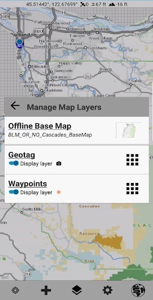
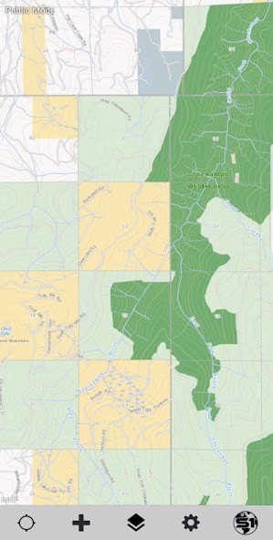
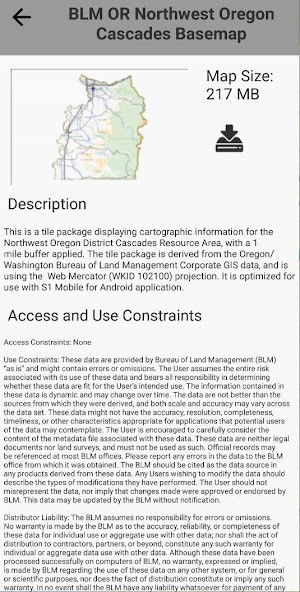
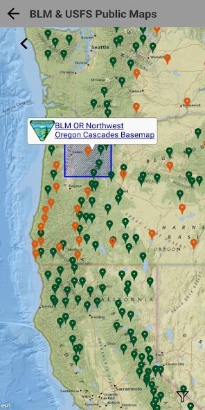
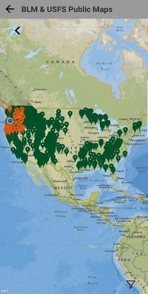
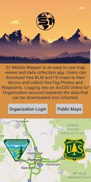
The S1 Mobile Mapper is a custom mapping and field data collection Android application built by the Service First (S1) Mobile GIS team, sponsored by Oregon State Office Bureau of Land Management and Region 6 US Forest Service.For the public S1 Mobile provides offline mapping capability that distributes official US Forest Service and Bureau of Land Management maps for offline use.
Maps that are distributed are free maps that are already publicly available and have gone through the appropriate agency public affairs process. Application includes GPS capability so that you can see where you are on public land even when not connected to any cell network (note that maps must be downloaded to device in order to see them offline). Additionally the app includes the ability to take way points, GeoTag photos and basic navigation as the crow flies.For government staff (currently available to Bureau of Land Management, US Forest Service, National Park Service, USGS and National Interagency Fire Center) S1 is designed to extend offline mobile field data collection capabilities not available using commercial ESRI mapping applications and to meet the specific data collection needs of the federal agencies served by the OR/WA Service First Mobile GIS program. The application leverages each agency's ArcGIS for Organization (AG4O) site as well as their internal ArcGIS Server deployments to distribute, collect, and update enterprise geographic information systems (GIS) information by agency field personnel.
User ReviewsAdd Comment & Review
Based on 0
Votes and 0 User Reviews
No reviews added yet.
Comments will not be approved to be posted if they are SPAM, abusive, off-topic, use profanity, contain a personal attack, or promote hate of any kind.
Tech News
Other Apps in This Category


